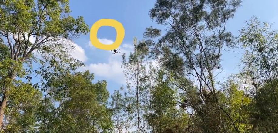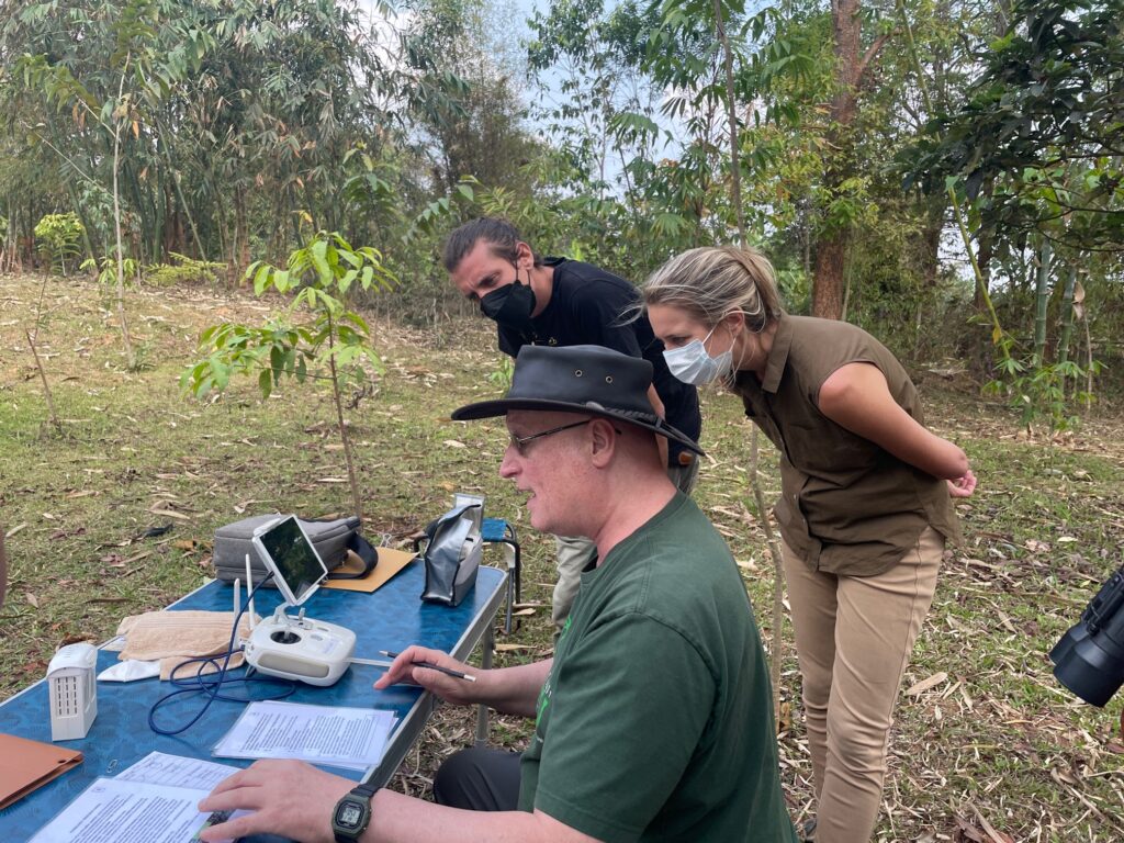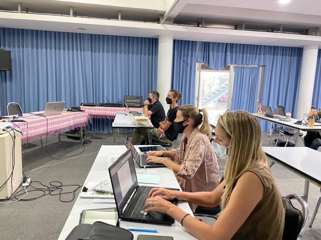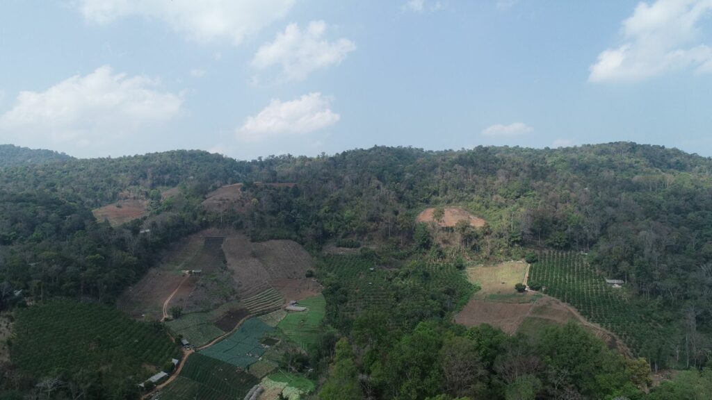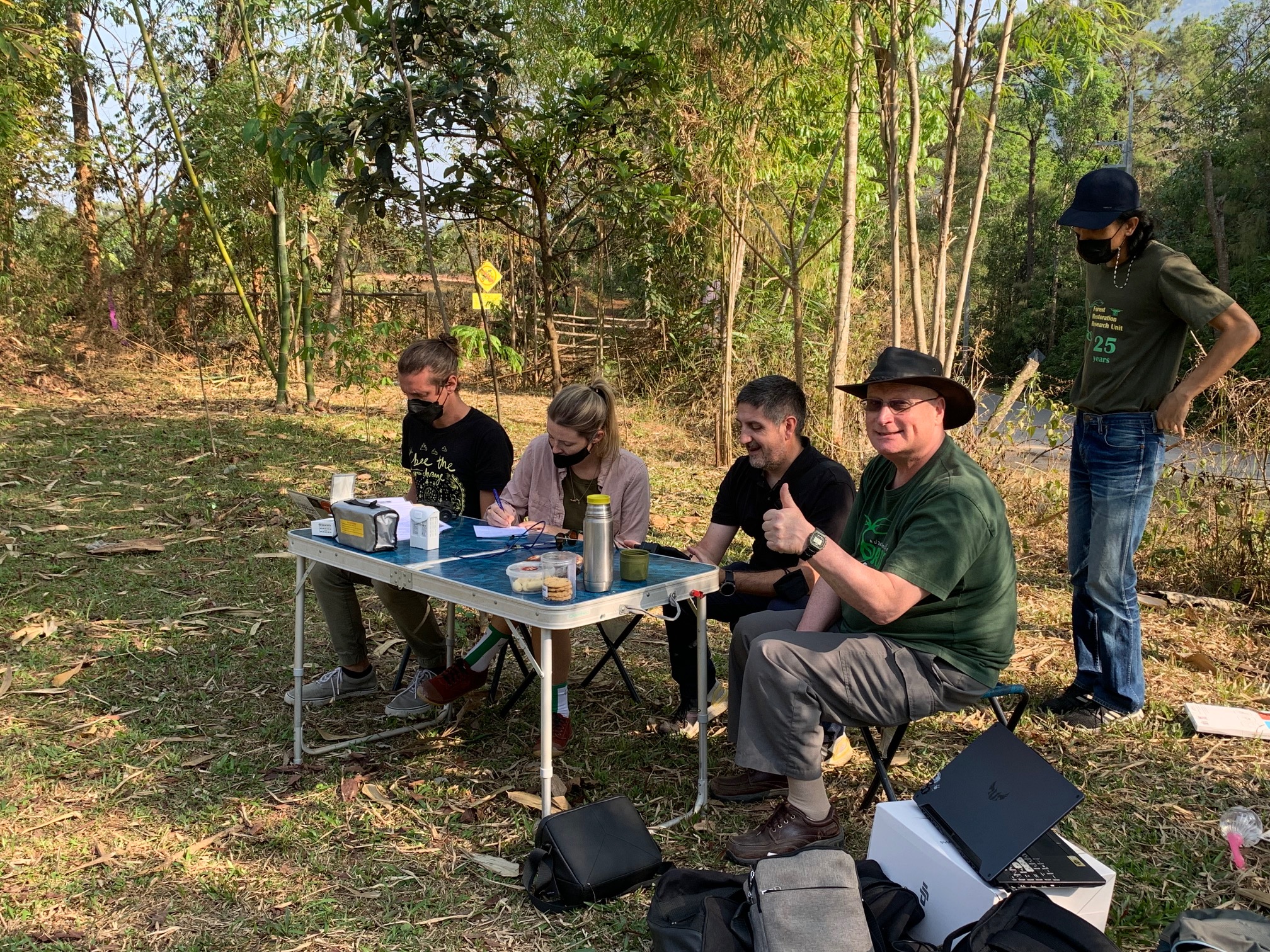
This week BTEH joined a workshop facilitated by Dr. Stephen Elliot of the Forest Restoration Research Unit of Chiang Mai University about using drones to create 3D maps. These maps can be used to monitor the impact of our restoration and coexistence efforts.
Over the course of two days, we learned how to create a flight plan for the drones, send the drone on a mission to capture all the needed pictures, create a 3D map and use the 3D map to meassure tree survival and tree height. We are excited to use this new technology in the field for our joint project with Trunks & Leaves in Sri Lanka. Many thanks to FORRU for hosting such an inspiring workshop!